News in 2014

|
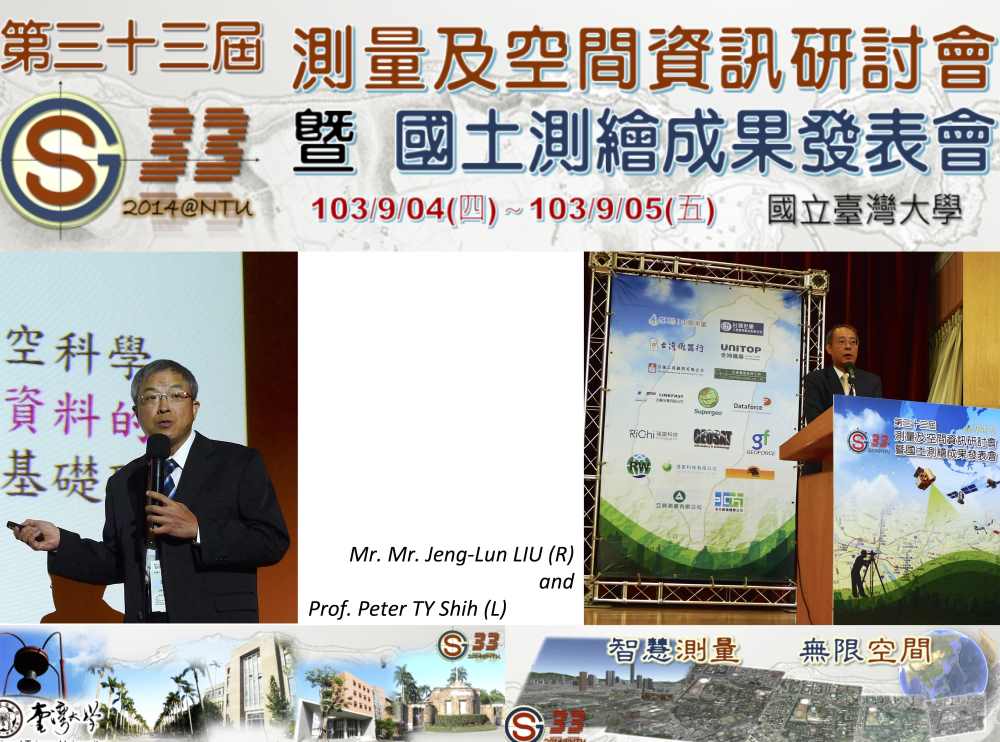
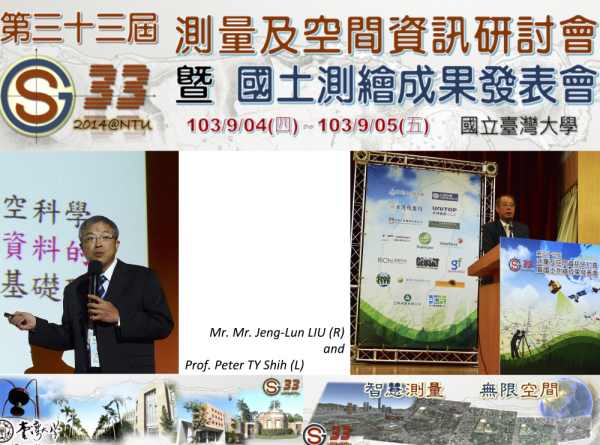
33rd National Surveying and Spatial Information Conference
3-4 September 2014, National Taiwan University, Taipei
The invitation by the organisers of the 33rd edition of Taiwan’s annual
National Surveying and Spatial Information Conference, National Taiwan
University (NTU), presented an opportunity for FIG to engage fellow
surveying and spatial information professionals in Taiwan. Prof. P.H. HSU
from NTU in Taipei was the principle organizer of the Conference and Prof.
Peter TY SHIH from the National Chiao Tung University in Hsinchu was
the primary liaison person. The Taiwan Society of Cadastral Surveyors,
Taiwan Professional Surveying Engineers Association and Taipei Professional
Surveying Engineers Association also facilitated the participation of the
FIG President CheeHai Teo.
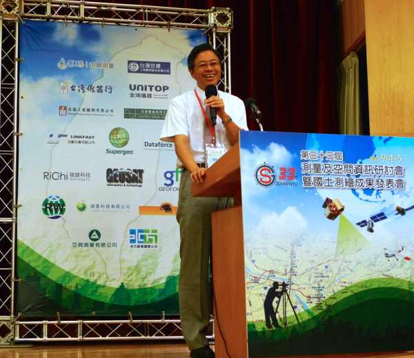
Minister of Science and Technology, Dr.
San-Cheng CHANG, officiating
the Conference
Dr. San-Cheng CHANG, the Minister of Science and Technology
officiated the opening of the Conference and gave an opening address. During
the Official Opening segment of the Conference, the Minister also officiated
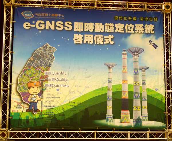
the launch of Taiwan National Land Surveying and Mapping Center’s eGNSS
geodetic and positioning infrastructure. NLSC’s eGNSS was an improvement and
a setup from their eGPS infrastructure that was established 10 years ago.
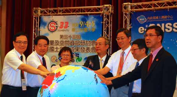
L-R: Prof.
Liang-Chien CHEN; Dr. Guey-Shin CHANG; Ms Ching-Hsu WANG; Mr.
Jeng-Lun LIU; Dr. San-Cheng CHANG;
Prof Jia-Yush YEN; FIG President CheeHai TEO
The launch of eGNSS was witnessed by Ms Ching-Hsu WANG, Director
of the Department of Land Administration, Ministry of Interior; Dr. Guey-Shin CHANG, Director General of the National Space Organization,
National Applied Research Laboratories; Prof. Liang-Chien CHEN,
President of Chinese Taipei Society of Photogrammetry and Remote Sensing and
Professor in the Center for Space and Remote Sensing Research, National
Central University; Prof Jia-Yush YEN, Dean of the College of
Engineering, National Taiwan University; Mr. Jeng-Lun LIU,
Director-General of the National Land Surveying and Mapping Center, Ministry
of Interior and the FIG President.
The FIG President had the opportunity to interact with many Professors,
researchers and graduate students from around the country during the two–day
event. The FIG President was also able to interact with practising
professionals, both in the public service and private sector and was shown
some of their on-going researches, development, activities, projects and
outputs. It was indeed heartening to observe and note the researches,
innovation and adaptation of spatial sciences and technologies, particularly
in the areas of remote sensing, airborne, terrestrial and mobile mapping, in
addressing the developmental and disaster related challenges peculiar to
Taiwan by the local professionals and researchers. The results of these
efforts are being deployed, not just for disaster response mapping and
subsequent surveys and mapping for reconstruction, but could be extended to
improve knowledge on urban hazards for disaster readiness.
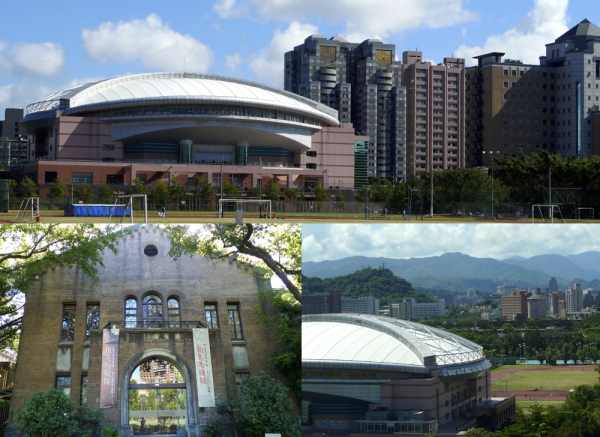
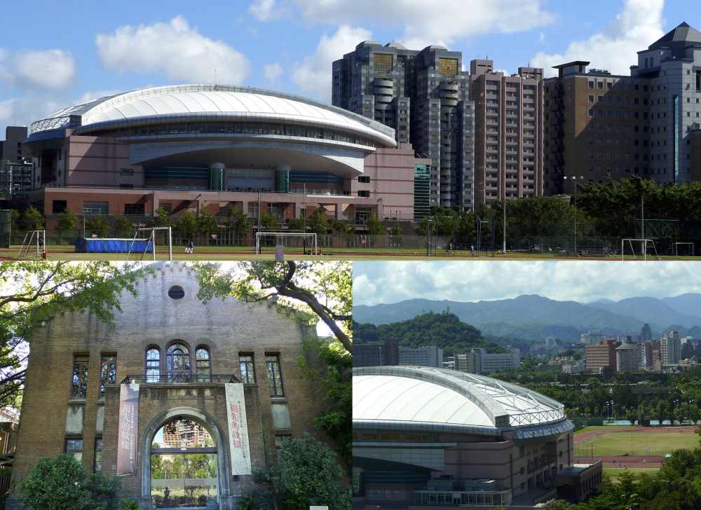
Museum of Anthropology (Lower Left) and sports complex within the campus of
the National Taiwan University, Taipei
In his keynote presentation and various meetings, President CheeHai TEO
reiterated the need to engage and exchange experiences so that the
Profession can be better positioned to deploy its sciences, technologies and
practices to address the various challenges faced both by humanity and the
profession. During his presentation, he made a series of observations on the
capabilities and competencies of the Profession in an era of rapid changes,
of various challenges facing humanity that has an obvious spatial dimension,
informed the audience of a series of global initiatives that the Profession
must embrace, introduced and shared FIG’s thinking on Surveyor 2.0 and
spatially enabled society in the hope that the Profession can be engaging in
the managing all information spatially, thus allowing information and
knowledge with both geographic and temporal context to be more effectively
assimilated into all levels of development and decision-making towards
sustainable development goals, which can be global, regional or local.. The
presentation was titled “Spatial Information Addressing Global Challenges”
CheeHai Teo
September 2014
09 September 2014
|